The Gift of South Dakota
Subscriptions to South Dakota Magazine make great gifts!
Subscribe today — 1 year (6 issues) is just $29!
Where the Mighty Mo Bends
Jun 25, 2013
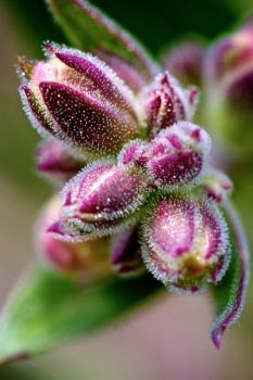
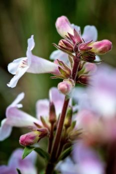
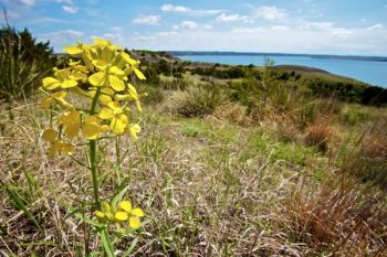
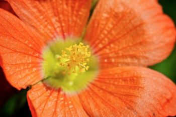
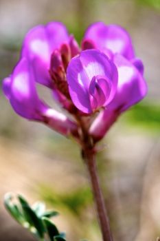
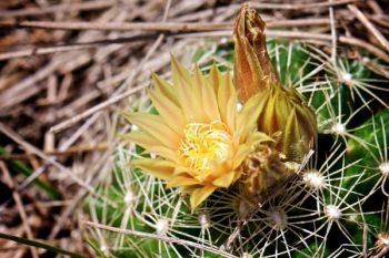
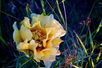
The Mighty Missouri. You can’t do a landmark series without talking about the great river that cuts our state in half. I never knew the river before the big dams were constructed. My earliest memory of the Missouri is coming down red-top hill on old Highway 20 near where the Grand River joins Lake Oahe just west of Mobridge. It was the biggest body of water I had ever seen. (This held true until I was in high school and saw the Gulf of Mexico from Galveston Island in Texas.) The Missouri is a thing of beauty even in its dammed state. The hills and bluffs on either side provide cover for wildlife and are rugged enough to have never been touched by the farmer’s plow. This means they are havens for prairie wildflowers as well.
One winter while I was in college, I was in a small plane flying to Rapid City on a moonlit night. There was snow on the ground so the moonlight made all the contours of the land visible. One of the most interesting sights I saw that evening was the meandering of Big Bend on the Missouri. It is one thing to look at the biggest bend of any river in the United States on a map, but it is quite another to view it in person.
I’ve always been fascinated by this part of the state and just within the last few years discovered the Narrows of the Big Bend area just beyond Lower Brule. In the days of the steamboat freight and fur trading on the river, the boats would stop along the eastern shore of the Missouri and allow their passengers to stretch their legs and walk the mile and half across the Narrows while the boat traversed the full bend of well over 20 miles. I often wonder what kinds of stories or adventures happened on those hikes.
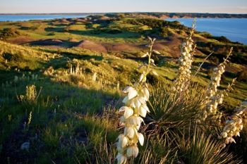
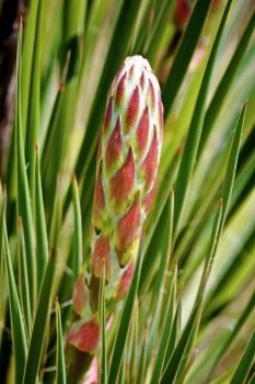
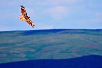
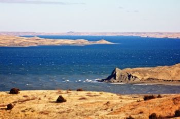
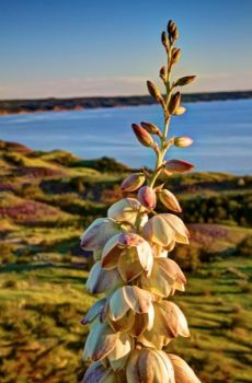
A short walk takes you up onto the bluffs between the bends of the Missouri and allows great views of Lake Sharpe in both directions. Wildflowers and birds abound. I’ve never seen as much blooming yucca anywhere else in the state. I visited three times this spring and early summer to catch as many wildflowers as possible. On my most recent trip, the yucca were in full bloom and I was even able to photograph a yucca moth, which is so closely related to yucca that it is the only insect that pollinates the plants.
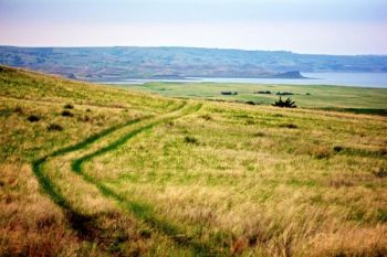
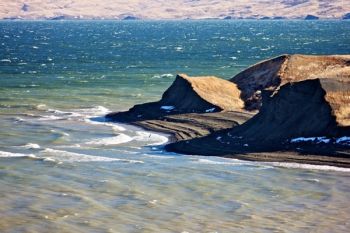
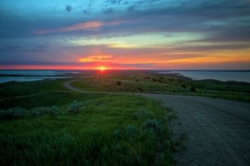
Further up the river is another interesting bend to visit. The Mighty Mo seems to bend to the west to meet the Cheyenne River some twenty miles west of Onida. I’ve heard the view looking west from this area called Sunset Point, as one can see for miles down the Cheyenne from the high hills of the Little Bend narrows. The first time I visited this area was a brisk day in November. Lake Oahe was deep blue against the tan and brown bluffs. The view was just as exquisite when I visited again this spring. I tried my luck at Sunset Point, and although the sun sets quite a bit to the northwest this time of year, the scenery was still spectacular.
I’ve spent a lot of time enjoying the fishing and water recreation that the Missouri River system offers South Dakotans, but have just recently realized what a treasure the hills and bluffs that neighbor the mighty lakes are. Hiking the bluffs seem to take me back to an earlier time. With each step, the sounds of civilization seem to get lost behind the hills, leaving just the wildflowers and wind to keep me company — a little bit of heaven on earth for me.
Christian Begeman grew up in Isabel and now lives in Sioux Falls. When he's not working at Midcontinent Communications he is often on the road photographing our prettiest spots around the state. Follow Begeman on his blog. To view Christian's columns featuring other unique spots in South Dakota's landscape, visit his landmarks page.











Comments