The Gift of South Dakota
Subscriptions to South Dakota Magazine make great gifts!
Subscribe today — 1 year (6 issues) is just $29!
Hiking Crow Peak Trail
May 8, 2013
Driving into Spearfish from the north this past week, my wife and I noticed a big mountain towering over Spearfish to the west. It looked like a pan of heated Jiffy Pop popcorn about to pop, so we had to check it out. We’re trying to hike most the trails in the Hills, so it looked like an opportunity.
WHAT IS IT
Crow Peak owes its shape to the magma that formed it many years ago by creeping up through fissures in the limestone and cooling. It is the product of the same geological action that formed its neighbors to the west, Devils Tower, and to the east, Bear Butte.
HOW DO WE GET THERE? GOOD QUESTION!
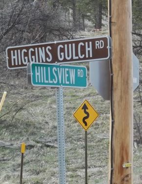 |
| How can a mountain be so hard to find? Here's a hint: take Higgins Gulch Road. |
The Forest Service map tells you to take Utah Street west out of Spearfish to Road #214. There are at least three reasons why that map will not get you to Crow Peak.
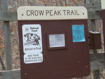
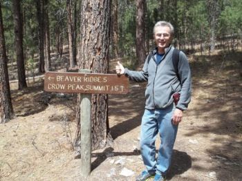
First, there are no road signs. None. Nada. These people obviously got no promotional advice from the Hustead family at Wall Drug. The only sign concerning Crow Peak Trail is behind the first row of trees when you are starting your hike up the trail. You can’t even see it from the parking lot at the trailhead.
Second, according to GPS and the corresponding road signs, “Utah Street” is actually Hillsview Road. There surely is an interesting local explanation for that one.
Finally, according to the Forest Service map, there is no Road #214 anywhere near Crow Peak! The real road that you want to find, while driving west out of Spearfish on Hillsview Road, is Higgins Gulch Road.
So, how does one actually find Crow Peak, then? The obvious and most dependable way for an informed South Dakotan to do so is to call Spearfish native and Black Hills State University grad Jason Glodt on your cell phone and let him talk you through the route. Bernie won’t let me publish Jason’s cell phone number here, so just email me if you are planning the trip and I’ll send it to you. The trail is worth the trip (and the call, if you need it).
COME FOR THE EXERCISE, CATCH YOUR BREATH WITH THE VIEW
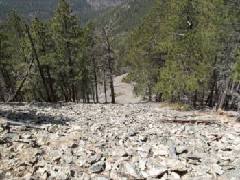
The Crow Peak trail is 3.2 miles up, and unless you can fly, another 3.2 back down. Smokers need to hang close to the parking lot on this one — it is a work out. It’s rated “difficult” according to the trail system map. For perspective, the popular and strenuous hike from Sylvan Lake to the fire tower at Harney Peak is rated an easier stroll.
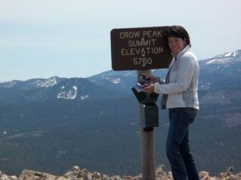
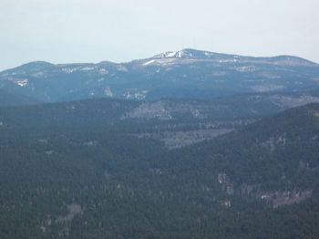
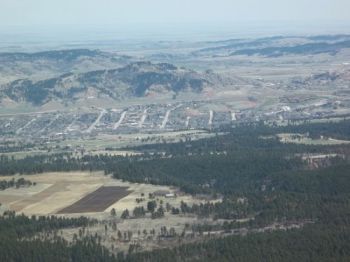
The trail circles the peak as it rises from 4200 to 5600 feet. The hikers enjoy — through very deep breaths — vistas of Wyoming, Montana, and South Dakota landmarks. The ski runs at Terry Peak are crystal clear to the southeast. Bear Butte is obvious as it looms to the east. Spearfish and its valley are at your feet.
ALWAYS IN GOOD COMPANY
We saw seven groups on the trail, and it looked like all but one would make it to the top. As you would expect with any South Dakota place, you meet friendly folks on the trail. While having lunch on the Peak we met Jesse Wolff and his buddy who had hiked up just behind us. Their effort was a little more strenuous, as very young Michael had tagged along in a backpack on his father’s back. Michael was fun to watch on top. While the adults were discussing the view, the mine you can clearly see, and the beauty of the Hills, Michael was pretty much focused on the charms of the Cheerios his astute father had packed in.
ENJOY THE STROLL DOWN
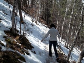
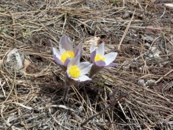
On the way down you breathe a lot easier. Hiking down the mountain finally gave us a chance to enjoy the scenery. We were surprised to see the abundance of our state flower, the pasque, in bloom about us along the trail. We didn’t see any mountain lions, but I would’ve been prepared. I had assured my wife that if one came upon us, I would swiftly run for help. She didn’t seem reassured, and I noticed that she decided to wear her running shoes too — instead of the boots I bought her!
Lee Schoenbeck grew up in Webster, practices law in Watertown, and is a freelance writer for the South Dakota Magazine website.








Comments
We are 50 year olds, but hiking is a typical pastime for us.