The Gift of South Dakota
Subscriptions to South Dakota Magazine make great gifts!
Subscribe today — 1 year (6 issues) is just $29!
Harding County Treasures
Aug 5, 2013
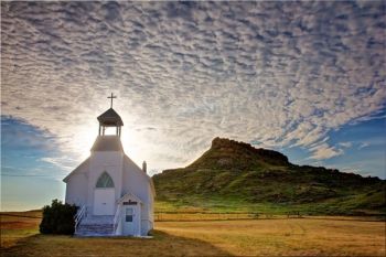
Western South Dakota is known for its wide open spaces and rugged landscapes. This is particularly true in one of the least populated counties located in the farthest northwest reaches of the state. Harding County’s population was under 1,300 folks as of the 2010 census. With an area around 2,700 square miles, the population density is roughly one person for every three square miles. So unless you stop in the county seat of Buffalo (population 330), you are probably going to see the greatest concentration of human beings only when driving through the county on the CanAm Highway (US route 85). But don’t let the small population fool you; the area is rich in beauty and scenery. Places like the Cave Hills, Slim Buttes and the Jumpoff are fairly easy to get to and can take your breath away if you take the time to explore them.
My first experience seeing the Slim Buttes was from a school bus window as my high school basketball team traveled to our farthest opponent in the Little Moreau Conference, the Harding County Ranchers. I had heard stories and legends of “wild west” battles and hidden loot still buried in the buttes. It wasn’t until recently that I took the time to explore the area and learn a bit about the history. There was indeed a battle that took place in the Slim Buttes a few months after the Battle of the Little Bighorn in Montana. A Lakota village was destroyed and a counterattack by the legendary Crazy Horse was fended off. It turned out to be the beginning of the end of what was called the Great Sioux War of 1876.
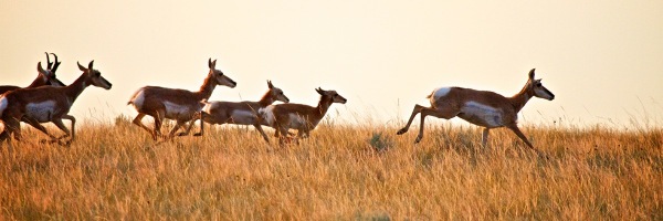
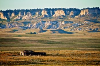
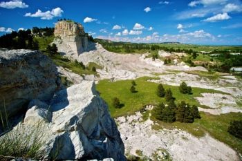
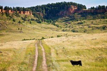
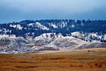
White-sided buttes now peacefully rise from the prairie, with only cattle, horses and wild bands of pronghorn to disturb the grasses at their base. Ponderosa pine graces the top of the buttes and make up part of Custer National Forest. The name “slim” comes from the landform itself. The high points of the butte tops are never more than a few miles wide as they tower 300 to 400 feet above the prairie. This ridge is roughly 30 miles in length and makes a natural “L” shape. There are only three passes through the buttes. Two of these passes are paved. Highway 79 crosses the buttes to the south and Highway 20 to the west of Reva, SD. At the Reva Gap, there is a campground and hiking area with a majestic view of the “castles” area of the buttes.
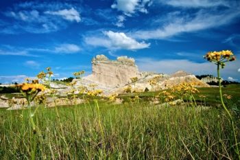
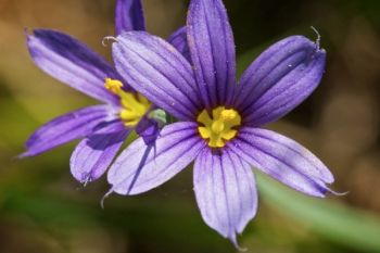
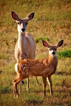
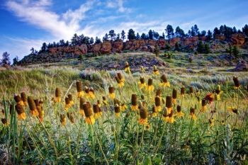
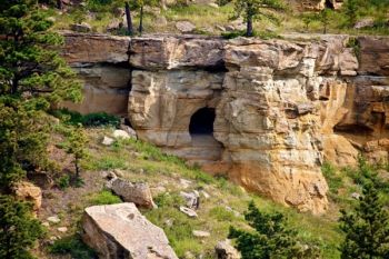
A little further north and west are the Cave Hills. This formation seems more like high mesas than hills to me. The top layers of rock on the hills are pockmarked and full of many small cave-like entrances, the most well-known being Ludlow Cave. I did not make it to Ludlow Cave this time around, which is a shame as there are ancient petroglyphs to be found as well as markings from soldiers of Custer’s 7th Cavalry. I imagine that the legends of robber’s loot hidden in Harding County probably have something to do with the caves of the Cave Hills. Even though I didn’t get to explore these caves, I did spend a good amount of time in the camping area of Picnic Springs in the north section of the hills. Wildflowers were everywhere. I spotted deer in the box canyons and watched mountain bluebirds, goldfinch and various swallows dart among the rock formations. The roads into and through the Cave Hills are rugged but well worth the time to explore.
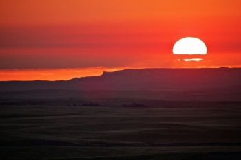
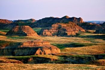
When I was looking a detailed map of the region, I noticed an area labeled as “the Jumpoff” that was directly west of the Slim Buttes and little north of the Short Pine Hills. I discovered it was a rugged mini-badlands area of hills, ridges, valleys and cut banks that separate the headwaters of the Grand River to the east from the valley of the Little Missouri River to the west. I was there at dawn and saw the sun rise over the Slim Buttes on the horizon.
Although I may not have left Harding County with any long-forgotten buried loot, I did experience one of the treasures our great state has to offer: the promise of a new day breaking over the wide, windswept high plains. Thankfully this is the kind of treasure anyone can share in.
 |
Christian Begeman grew up in Isabel and now lives in Sioux Falls. When he's not working at Midcontinent Communications he is often on the road photographing our prettiest spots around the state. Follow Begeman on his blog. To view Christian's columns featuring other unique spots in South Dakota's landscape, visit his landmarks page.










Comments
You forgot to take pictures in the NW corner of the county. Roads, power lines, pumping units, drilling derricks, pipelines being laid, pipelines being uncovered, electrical substations, oil being spilled, oil being cleaned up...It is an absolute glorious sight watching man pillage our remaining natural resources.....
I sent away to the National Archives for those records, and am waiting to see what new information I can discover. They lived on 150 + acres which was granted in 1912 and another small parcel of 35 acres in 1919.
I would appreciate any thoughts or information you can provide.
Does anyone know where I might find other records? I got this from a copy of the Buffalo Times. Thank you.
I did a quick check of the original GLO survey maps for the area and there is a "J.O. Johnson" listed in the Northwest corner of Section 10, Township 21 North, Range 5 East. The survey map is from 1895 so I'm that might be pushing your time frame a little bit.
With a potential homestead parcel you could go to the Harding County Courthouse and do a deed records search. It'd tell you when the land in Section 10 was first purchased and when that parcel was sold. Not a lot to go on but hopefully that information is helpful.